Specialized Satellites and AI Models Accelerate Wildfire Detection
Purpose-built orbital sensors combined with machine learning are catching fires as small as 25 square meters, delivering alerts to responders in minutes rather than hours.
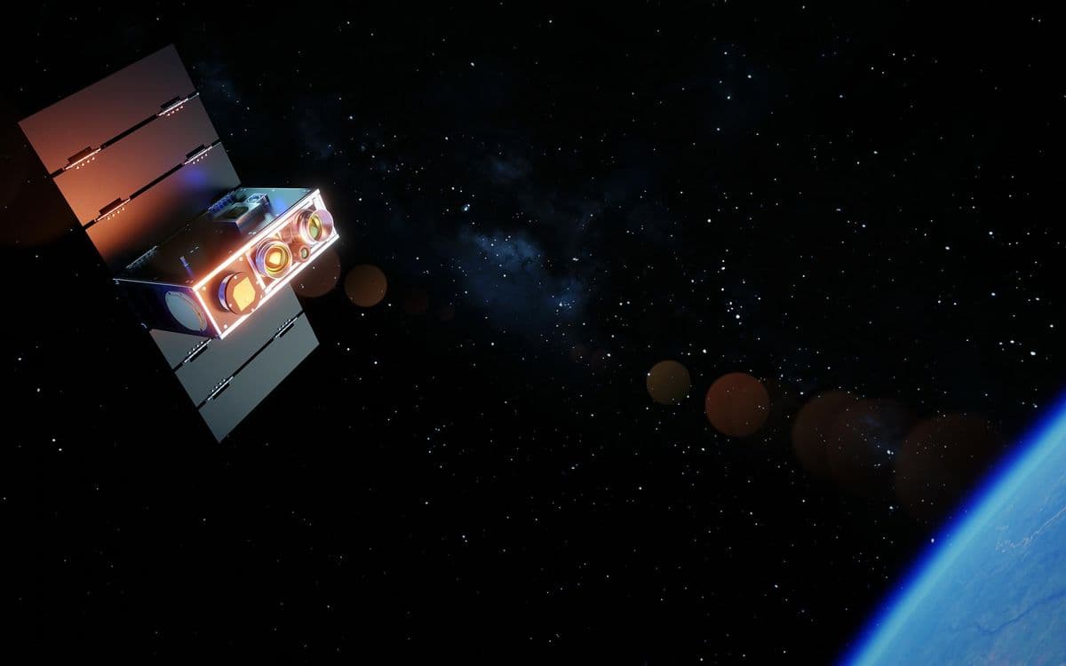
A satellite operated by German company OroraTech made the first detection of California's Rock Fire on July 20, spotting a thermal signature near Aberdeen before ground systems identified the blaze. The fire eventually burned more than 12,000 acres and triggered evacuations—a scenario that highlights both the promise and urgency of next-generation orbital wildfire monitoring.
As climate change drives more frequent and intense wildfires, a new class of satellites purpose-built for fire detection is entering service. These systems combine specialized thermal sensors with artificial intelligence to identify ignitions faster and at smaller scales than the weather satellites that have provided fire data for decades.
Why it matters
Early detection fundamentally changes firefighting economics and outcomes. Catching a fire when it covers 25 square meters versus 500 square meters can mean the difference between a quick containment and a multi-week campaign requiring evacuations. The new satellite generation also promises better data on global burned area and carbon emissions, filling gaps in climate science that legacy systems miss entirely.
Purpose-Built Hardware Improves Sensitivity
Wildfire detection from space dates to 1980, when researchers at NOAA identified gas flares in satellite radiometer data. That work led to algorithms that flag pixels showing elevated brightness temperature—a measure of infrared energy intensity—in the mid-wave band where burning vegetation releases concentrated radiation.
Legacy fire satellites like NASA's Moderate Resolution Imaging Spectroradiometer pass over locations several times daily at 500-meter resolution. NOAA's geostationary satellites provide continuous coverage but at even coarser resolution.
The California nonprofit Earth Fire Alliance launched three FireSat satellites in July with multi-band sensor suites optimized for fire characterization. The satellites image at 80-meter resolution and can detect fires as small as 25 square meters. EFA plans to deploy more than 50 satellites by the 2030s, enabling 20-minute revisit intervals globally.
"From space, for decades, we've been really blind to where these small fires are," says Michael Falkowski, EFA's lead scientist. The organization is working with early adopters to refine data products before broader distribution to fire agencies and researchers in 2025.
Machine Learning Cuts Detection Time and False Positives
Classical detection algorithms use fixed or contextual thresholds to identify likely fires, filtering results against databases of known heat sources like industrial facilities. Machine learning models add flexibility by incorporating weather data, vegetation maps, and site history to distinguish actual fires from sun glints or emissions.
OroraTech runs AI models directly on Nvidia GPU modules aboard its satellites, enabling onboard processing that downloads essential detection details to ground stations ahead of full imagery. "We're talking about minutes," says Dima Rashkovetsky, the company's data engineering lead. "Information after an hour is borderline useless for first responders."
The company trained its models using supervised learning with manually labeled fire images, initially prioritizing precision over recall. OroraTech now assigns confidence scores to detections based on model certainty, fire-weather indices, and persistence, allowing agencies to filter alerts according to their tolerance for false positives.
Rashkovetsky emphasizes transparency in how confidence scores are calculated. "People are rightfully not willing to make a decision based on just a black box," he says.
EFA has partnered with Google Research to develop AI algorithms that compare operational FireSat imagery with historical baselines to detect small fires while minimizing false alerts. OroraTech has a separate partnership with EFA to expand wildfire data access for non-governmental organizations.
These details were first reported by IEEE Spectrum.
This is an original analysis by the Omega editorial team. Source reporting: AI Watch.
Want systems like this working for your business?
Book a Call