Google Pauses Earth AI Feature After Disinformation Concerns
The tech giant rolled back a tool that let users generate synthetic imagery over real satellite locations within days of launch.
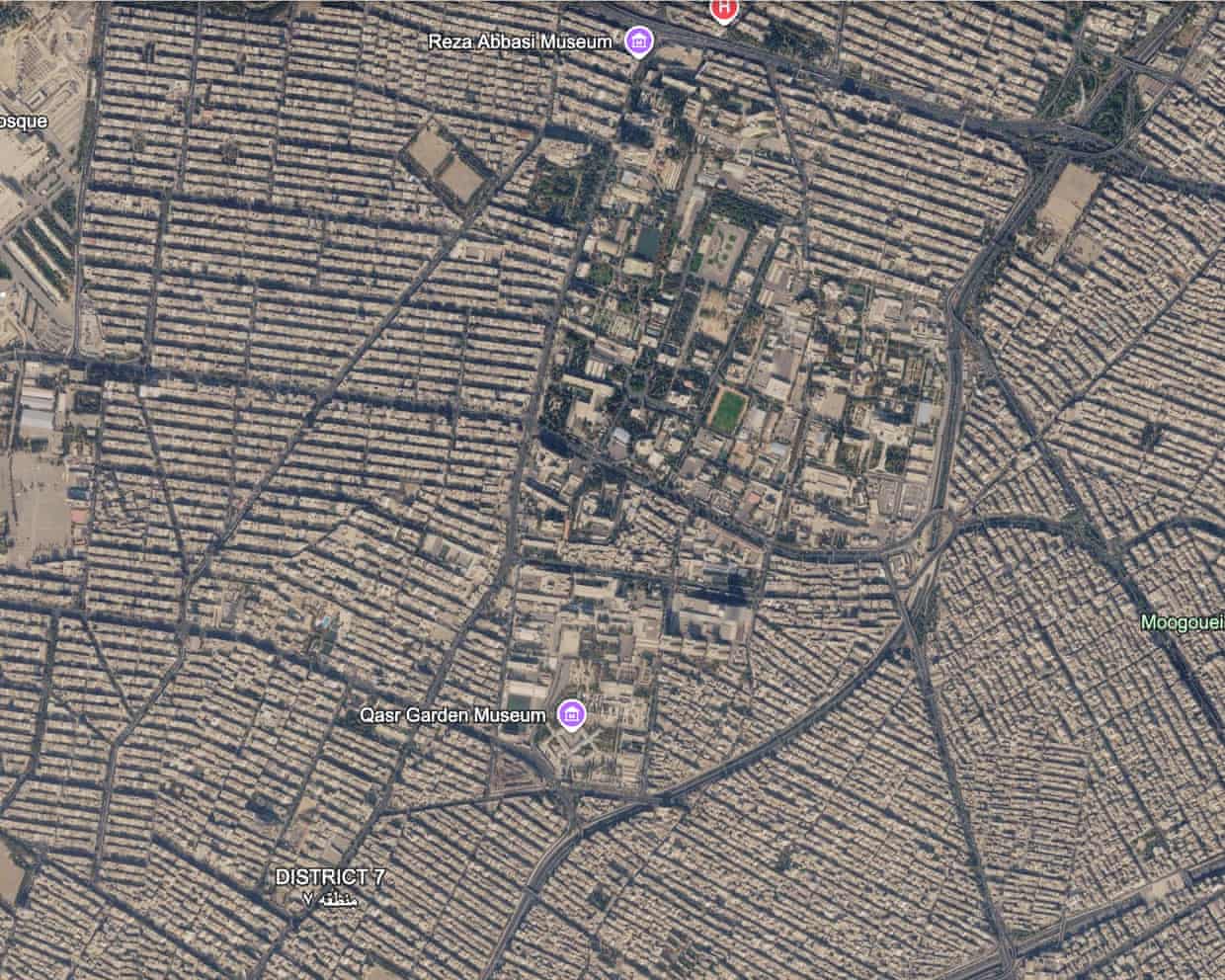
Google has suspended a Google Earth feature that allowed users to overlay AI-generated images on real satellite locations, just days after its launch last week. The company acted after users quickly demonstrated how the tool could create convincing disinformation about global crises.
The feature, announced last Thursday, was marketed for educational visualization and real estate planning. Users could select any location and generate synthetic imagery with simple text prompts. But researchers and journalists immediately tested its limits—and found virtually none.
Creating Fake Crises on Real Maps
AI researcher Henk van Ess posted examples showing fabricated refugee scenes near the Mexican border and a fictitious nuclear facility in Iran. He also generated imagery of a fake bomb crater near a hospital he created in Gaza. The Guardian's testing produced similar results, generating images of "refugees swarming New York" that, while not photorealistic, were troubling in their implications.
The timing is particularly concerning given satellite imagery's established role in investigative journalism. BuzzFeed News won a Pulitzer Prize in 2020 for using satellite data to expose China's Uyghur detention camps. More recently, satellite imagery has documented the destruction in Gaza and revealed evidence of atrocities in Sudan, including what researchers believed were human bodies near El Fasher in November 2025.
Why It Matters
Satellite imagery carries unique authority in verifying global events, especially in conflict zones where ground access is restricted. Unlike photos taken by individuals—which face growing skepticism as AI-generated content proliferates—satellite data has maintained credibility as an impartial record. A tool that allows anyone to fabricate imagery on real coordinates threatens to undermine this critical verification method at a time when documenting human rights abuses and environmental destruction depends heavily on space-based observation.
Google acknowledged the problem in a statement: "We know that people uniquely trust Google Earth for a reliable view of the world." The company noted that while some geospatial professionals used the feature appropriately, others shared generated imagery that appeared to violate policies. The feature remains suspended while Google develops additional guardrails, leaving open the possibility of its return.
The incident highlights broader tensions around generative AI deployment. Tech companies face pressure to rapidly release new capabilities while managing risks that may not become apparent until public testing reveals edge cases and malicious uses.
These details were first reported by the Guardian in its TechScape newsletter.
This is an original analysis by the Omega editorial team. Source reporting: AI Watch.
Want systems like this working for your business?
Book a Call